Without RC View, a lot more people would have been in danger for a lot longer.
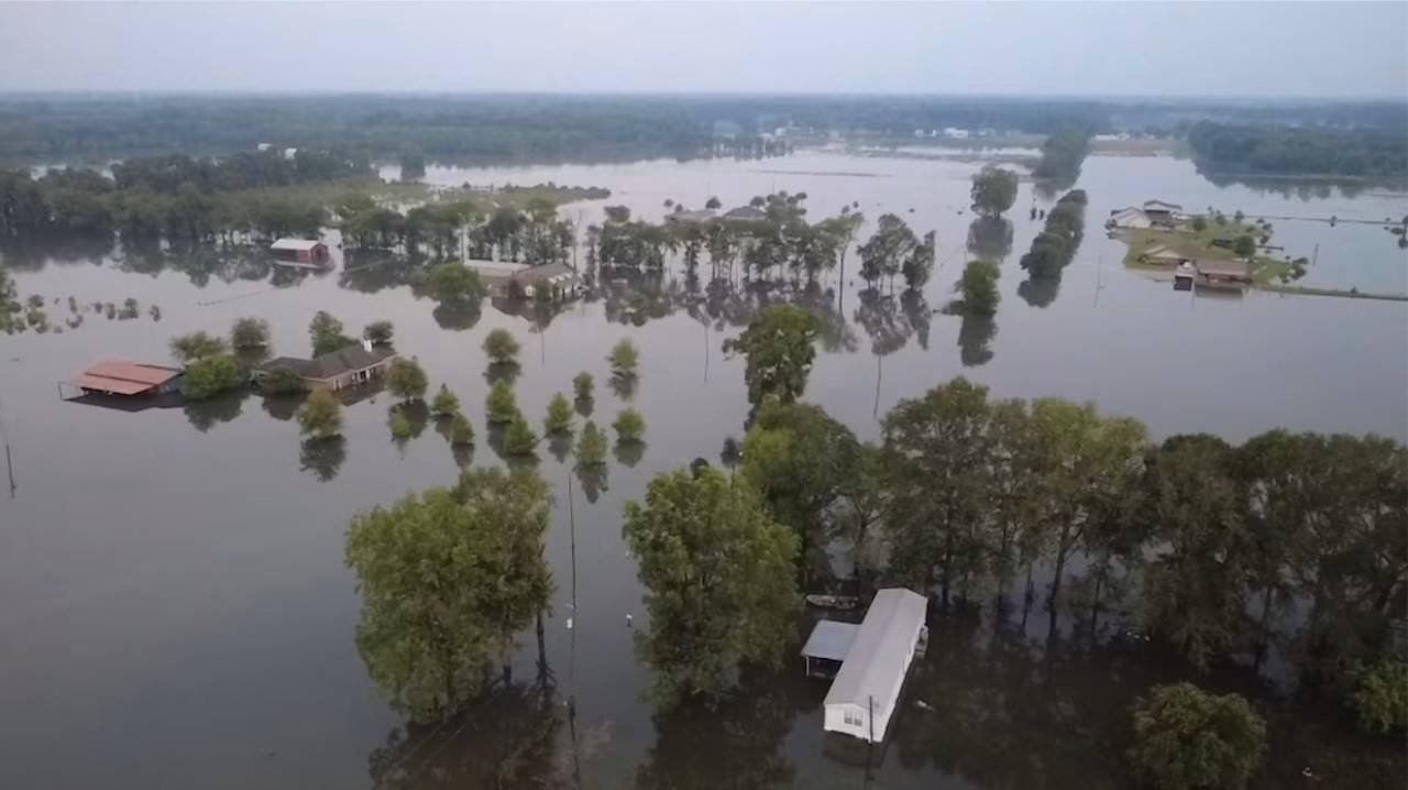
Southeastern Louisiana is no stranger to flooding. Much of it below sea level, the region has an intimate relationship with the rivers, bayous and lakes that surround our daily lives. After the August floods, however, much of the Baton Rouge metropolitan area, along with Northshore and Acadiana communities, experienced a new level of aquatic chaos eroding its very fabric.
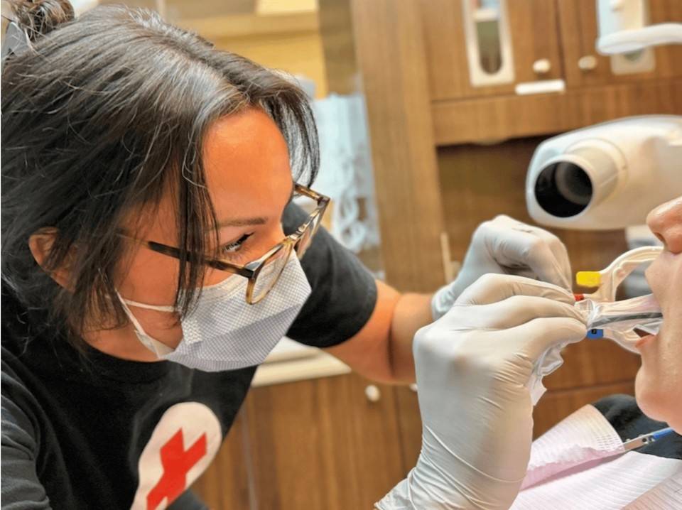
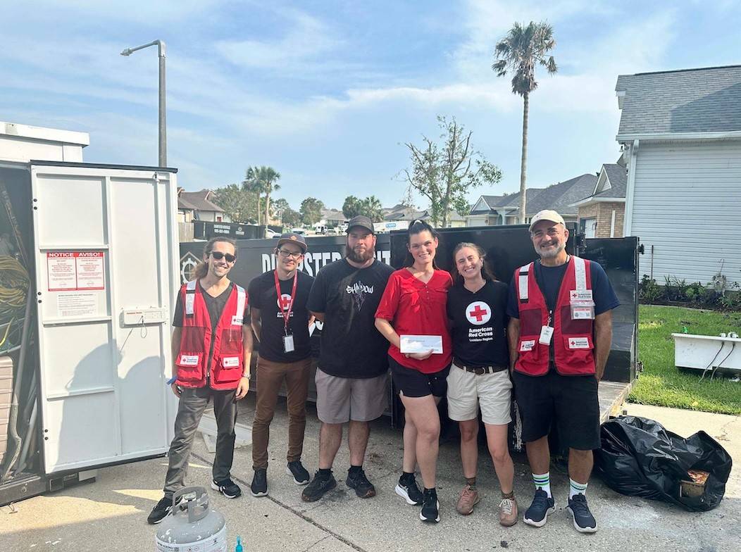
The American Red Cross, one of the first organizations on the ground, was quick to provide a network of support for families whose homes and communities were destroyed. Looking to expedite relief to those affected, the Red Cross quickly saw an opportunity to beta-test a unique internal program that has proven essential in the aftermath of natural disasters. RC View – an open-source mapping tool used by the American Red Cross to improve spatial understanding, expand satellite imagery of disaster areas, and coordinate relief efforts – was a crucial success story in the organization of response teams following the August 2016 fall flood.
Although RC View is an internally driven program (only Red Cross volunteers and staff can engage and update the maps), it is a vital tool in the coordination of cross-organization cooperation. In the case of the Baton Rouge floods, Red Cross staff shared the maps – complete with water level information, shelter mapping and road closures – with its community partners and with FEMA, an alliance that drastically improved the system of relief distribution. For example, under FEMA’s Wireless Emergency Alert provision, the maps were shared with thousands, allowing mass texts to be sent to those in areas affected.
“Without RC View, a lot more people would have been in danger for a lot longer,” said Sandy Joslyn, a volunteer coordinator with the Red Cross who worked closely with the program throughout the August floods.
In a disaster of this size, relief doesn’t stop at the short-term food and shelter provisions. Establishing plans for long-term rebuilding is an essential part of responding to tragedies across the world. Even in this “next step,” RC View took a front seat.
RC View allowed volunteers to define neighborhoods needing assistance remotely, in many cases eliminating the need to send assessment teams into neighborhoods to inspect homes. In addition to adding another step and days of processing time to the appraisal process, remote inspection teams are not able to access neighborhoods until flood waters have receded and the terrain is decreed safe for individuals to return. With RC View, remote teams processed damaged homes based on reported flood levels while evacuation orders were still in place, helping the Red Cross to determine its feeding and relief needs for the days and weeks to come. RC View also allowed FEMA and Red Cross to expedite giving financial assistance to those eligible.
“RC View allowed us to literally draw up a plan of action almost immediately,” says Dr. Brian Bourgeois, a Red Cross volunteer and logistics expert who worked tirelessly in Baton Rouge to produce maps of the flooding. “The ability to share information and cross-reference individual work and experiences – it had remarkable results on the relief effort.”
The successful trial run of RCView during the August floods paved the way for more widespread implementation. Most recently, the American Red Cross took the program out of the beta stage, fully integrating it into its multi-state response during the Hurricane Matthew relief effort. The technology also has already had implications for the study of disasters and the creation of long-term plans for future prevention. Shortly following the August 2016 floods, researchers at LSU’s Stephenson Disaster Management Institute and Tulane’s Disaster Resilience Leadership Academy began implementing the maps into their classrooms and scholarly articles studying the recent flood.
RCView has changed the way relief and government organizations respond to disasters. Allowing for quicker and more efficient implementation of relief, it will be exciting to see how this and other technologies will improve response efforts moving forward.