By Meteorologist Ted Buehner, Northwest Region
The winter season started on Sunday, December 21st, with the winter solstice at 7:03 AM. Monday the 22nd is the first full day of winter and it feels more like winter outside.
A big change late last week from the warm really wet weather pattern since December 8th to much cooler yet seasonable conditions sent snow levels plummeting to well below the mountain passes. This change cut off any further rain runoff into Western and Eastern Washington rivers.
The result has been all but one river dropping below flood stage including the water soaked south King County area surrounding the Green, White, and Cedar rivers. The only remaining river lingering just above flood stage until Wednesday, December 23rd, is the Skokomish river in Mason County.
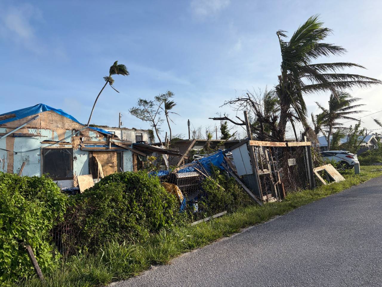
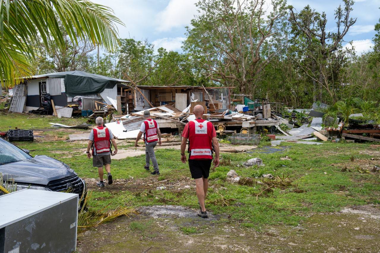
Now residents and businesses are returning home to clean up the flood and wind storm mess. Counties throughout storm ravaged parts of Washington on both sides of the Cascades have established sites where storm damage debris can be delivered for disposal. Visit the appropriate county emergency management website for where those disposal sites are located including their operational hours.
Counties are also asking businesses and residents to provide their damage information so totals can be provided as key input to a disaster declaration. Once the President signs the disaster declaration, federal resources can be distributed to help communities more fully recover from this flood, wind storm, and landslide disaster. Again, visit the appropriate county emergency management website for information on how to report damage assessments.
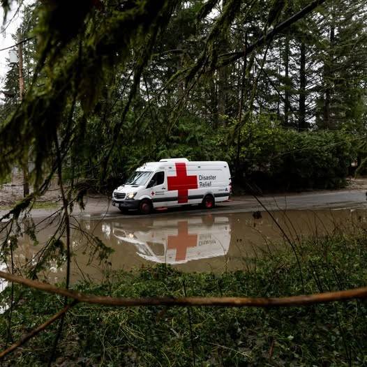
You can also get help from the American Red Cross by going to: redcross.org/gethelp
What Weather Lies Ahead
The weather should cooperate through likely the end of the year to support this storm damage clean up process. Much quieter weather is expected through Christmas Day with scattered light showers at times and mountain snow levels of 2000 to 3000 feet.
For those who desire a White Christmas, the mountains will be the place to be. In the lowlands of Western Washington, high temperatures will be in the 40s with lows in the 30s. East of the Cascades, a threat of light rain or snow showers is anticipated through the week with highs in the 30s to lower 40s, and lows mainly in the 20s.
For those with plans to drive over the Cascade passes, snow levels will remain at or below all highway passes. Road crews will maintain their efforts to keep roadways clear, yet be prepared for winter weather driving conditions.
Since the big weather change late last week, the mountains have picked up between more than a foot to nearly 3 feet of new snow. Snowfall this week is forecast to be a few inches each day.
The latest seasonal weather outlook heading into the first few months of the new year reflects cooler and wetter than average conditions. This trend is good news for helping to build a healthy mountain snowpack. It also means there will also be a better chance of snow in the lowlands of both Western and Eastern Washington, particularly in January into early February.
This weather outlook also means the chance of any renewed warm wet flooding type weather is reduced.
Support all the urgent humanitarian needs of the American Red Cross.
Find a drive and schedule a blood donation appointment today.
Your time and talent can make a real difference in people’s lives. Discover the role that's right for you and join us today!