Since the beginning of the Ebola outbreak in West Africa, volunteers on the ground and around the world have been working to create accurate mapping that is vital to efforts to provide education about disease prevention and care for affected communities.
These mapping efforts, done by volunteers from around the world, are a new and effective tool in the battle to save lives.
So how do volunteers in different parts of the world create accurate maps of communities in Africa?
The volunteers were coordinated by the Humanitarian OpenStreetMap Team, which activated at the request of Doctors Without Borders and the International Federation of Red Cross and Red Crescent Societies. These volunteers use satellite imagery provided by the US State Department, MapBox, and Microsoft Bing to identify and "trace" features (roads, buildings, rivers) into the map.
Many communities had very basic maps before volunteers began making edits to the Open Street Map platform. An example is the community of Gueckedou which initially had 9 roads outlined on a map. Now hundreds of roads, buildings and streams are included on the current map. Most cities took between 24 and 48 hours to completely map, with many locations being traced simultaneously.
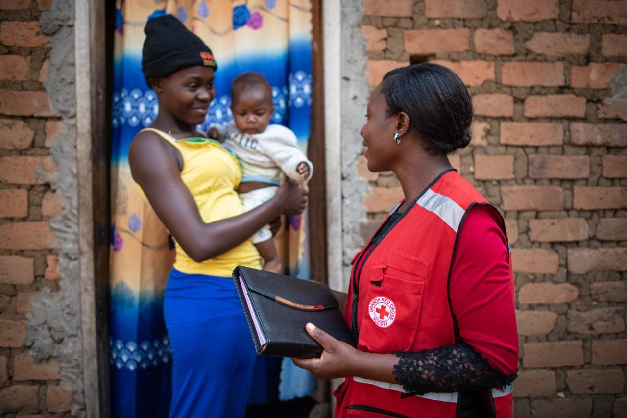
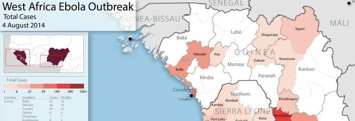
These base maps are then used by different organizations like the global Red Cross network and Doctors Without Borders to create maps specific to their specialty in the treatment of Ebola. The Red Cross volunteers use the maps to find communities where they are providing education on prevention, while Doctors Without Borders uses the maps to create data visualization of the spread of the disease and coordinate field teams.
Another challenge is many small communities often have the same name which causes confusion for deployed aid workers who are not as familiar with the area. The mapping project has ensured that when aid workers are called to assist in a community, they know exactly which town to go to.
Volunteers from a number of humanitarian organizations on the ground are working to gather additional information and data points to help make the maps more robust.
To date, more than 4 million edits have been made to the maps similar to contributions during Hurricane Haiyan. These digital volunteers have made a significant impact on the ability of humanitarian workers to provide lifesaving assistance on the ground in West Africa.
American Red Cross volunteer, David Schindler, recently returned from providing IT support in Sierra Leone. He traveled with an American Red Cross VSAT (a small satellite system) to provide connectivity for the global Red Cross network operation in the area. He saw first hand how useful the maps were.
"The hard copy maps were very useful; they were posted up on the wall and referenced constantly by relief workers," Schindler said. "And people were posting maps on to their GPS regularly."
To explore maps of communities in Sierra Leone and Guinea visit this link.
To contribute to the mapping effort visit hotosm.org
About the American Red Cross:
The American Red Cross shelters, feeds and provides comfort to victims of disasters; supplies about 40% of the nation’s blood; teaches skills that save lives; distributes international humanitarian aid; and supports veterans, military members and their families. The Red Cross is a nonprofit organization that depends on volunteers and the generosity of the American public to deliver its mission. For more information, please visit redcross.org or CruzRojaAmericana.org, or follow us on social media.
Support all the urgent humanitarian needs of the American Red Cross.
Support all the urgent humanitarian needs of the American Red Cross.
Find a drive and schedule a blood donation appointment today.
Take a class and be ready to respond if an emergency strikes.